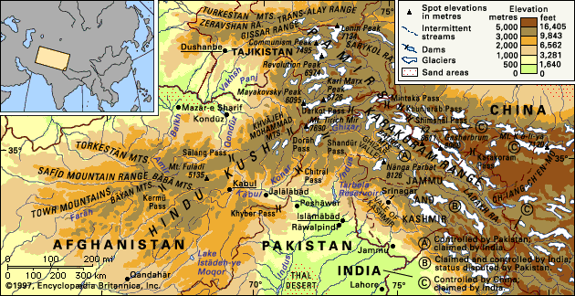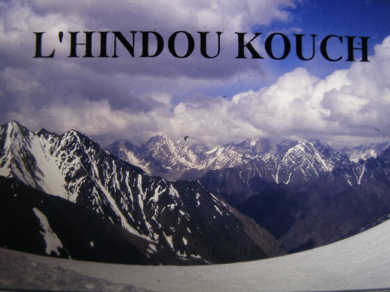
THE HINDU KUSH
Geographical and historic situation |
|||||||||||||||||||||||
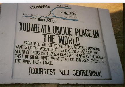
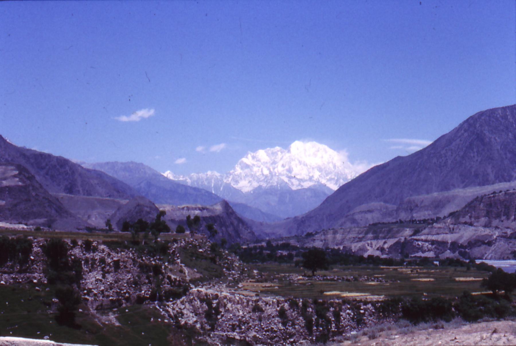
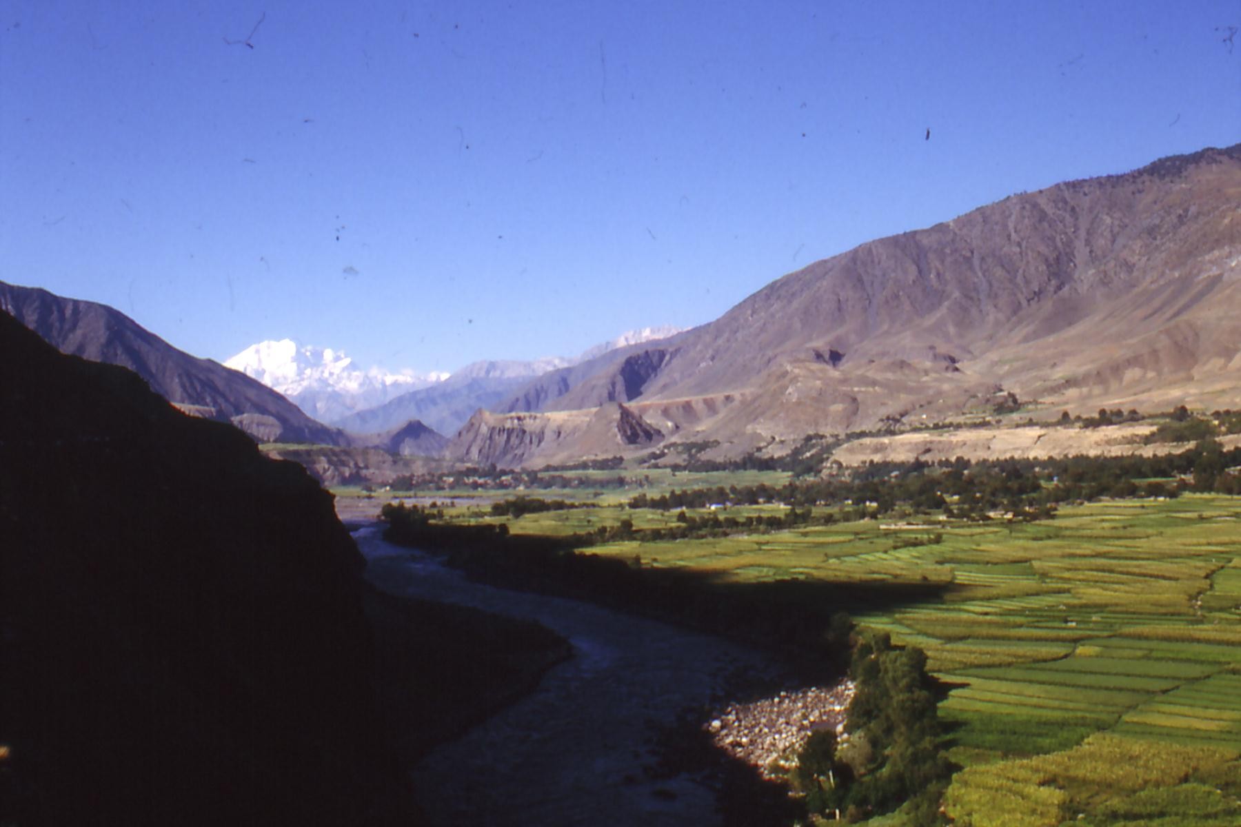
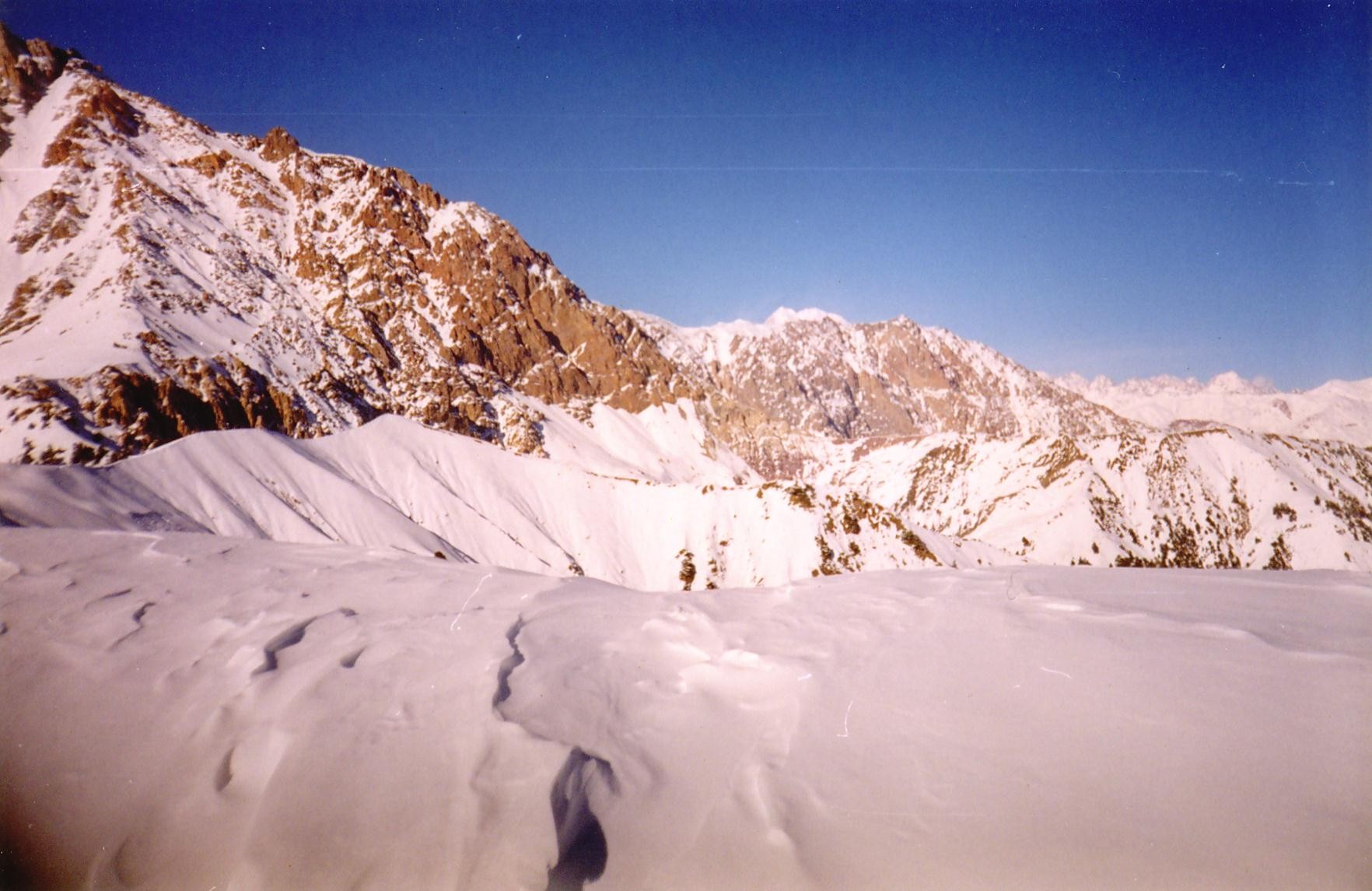
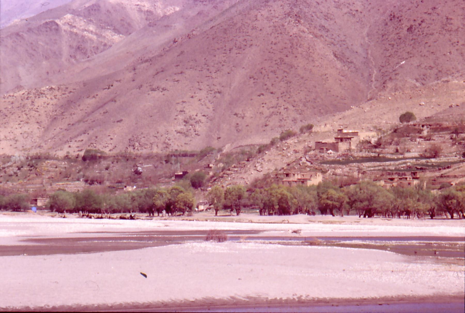
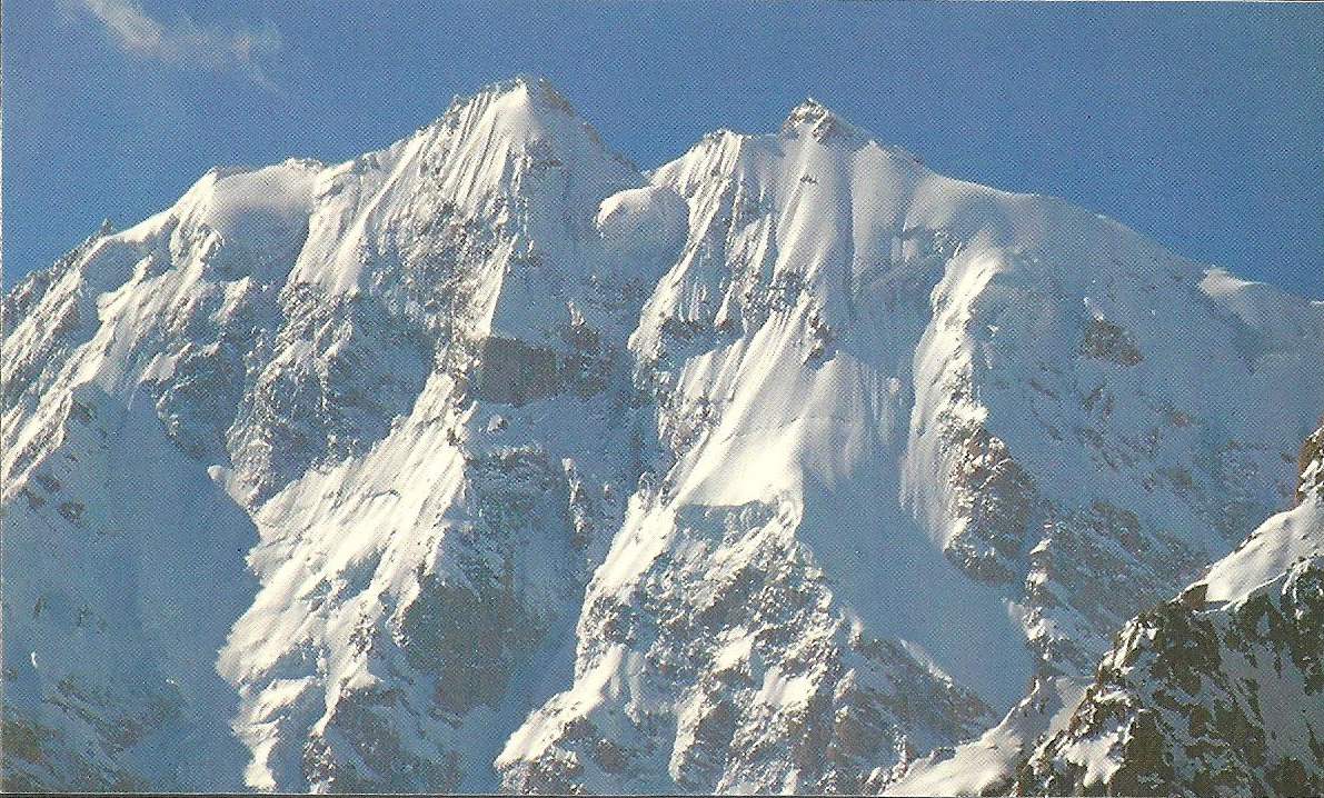
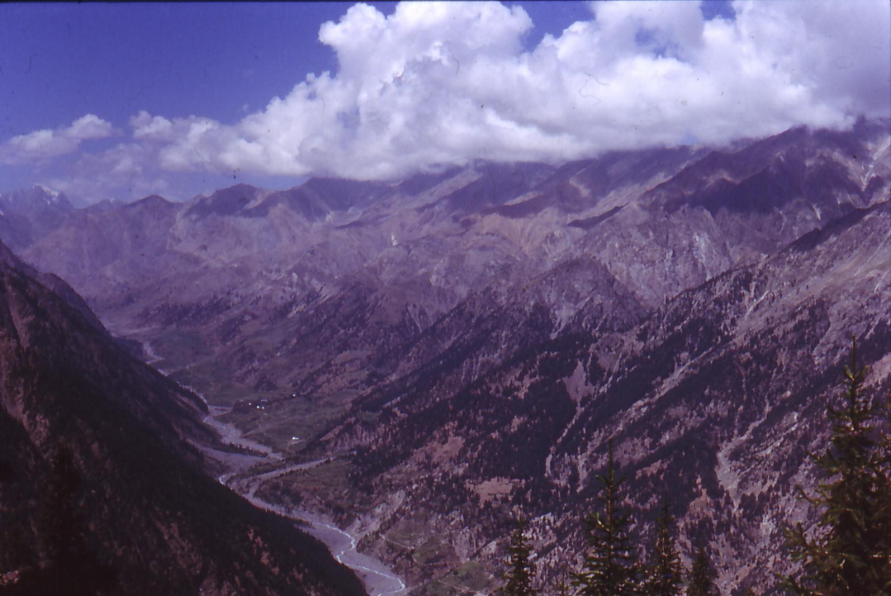
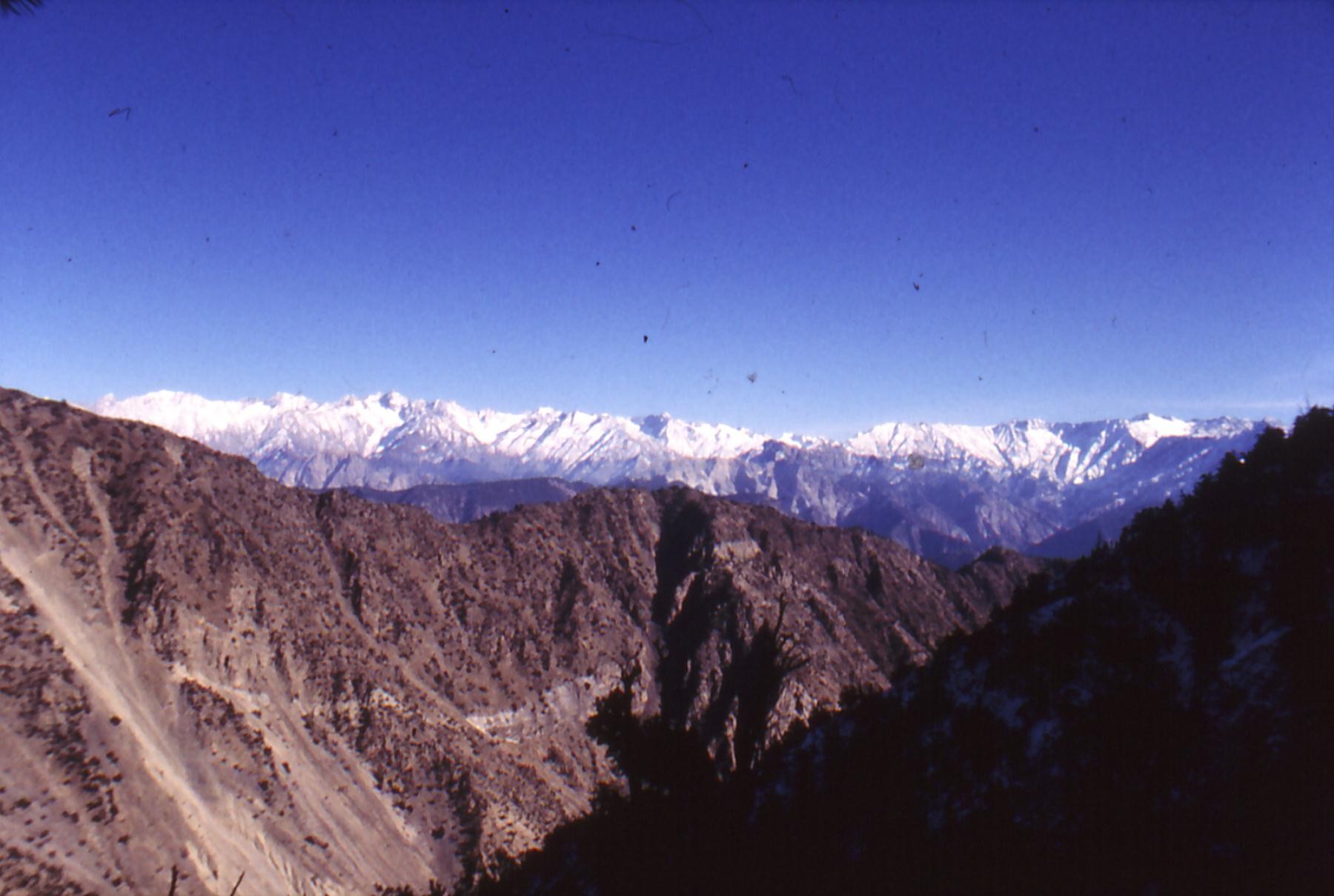
Situated near Central Asia,The North Hindu Kush constitutes a zone of transition enter paléarctique Asia in the North and Oriental Asia in the South. This passing role is the result of the tectonic movements of the ground, the confrontation enters the oriental ground plate which progresses northward and sinks under the ground plate of Asia paléarctique. The movements of his two different sets created, and continue to create, a very complex mountainous system, just like Himalaya, the continuation of which it is in the East via Karokorum, the Hindu Kush stretches on about 950 km of the center of Afghanistan in the North of Pakistan and in the borders of the Northwest of Karakoram and Hindu Raj separated by Soviet Union by the Province of Wakhan and of China. These mountains train the watershed between Amou Daria and the Indus. The Hindu Kush in the North of the country makes border with Afghanistan.
Hindu Kush means in Persian and in Tajik " The mountains of the Hindus ". The chain of Hindu Kush trains a vast network of high mountains. Alexandre of Greece walked on this valley in 327 B.. C and left behind him tracks of Greece, inheritance which we can see.
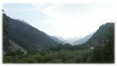
The Nuristan is a very closed region: in the North, in the East and on the West, mountains train a great wall of crests the lowest collar of which is 4700 meters. Little raised and feasible passages all year long exist in the South, they are established by the funds of valleys of the streams which succeed in the main valley of Kunar who is occupied by Pathans establishing a barrier with Nouristanis, almost so difficult as collars. See article of Jordi about: DU KAFIRISTAN AU NOURISTAN
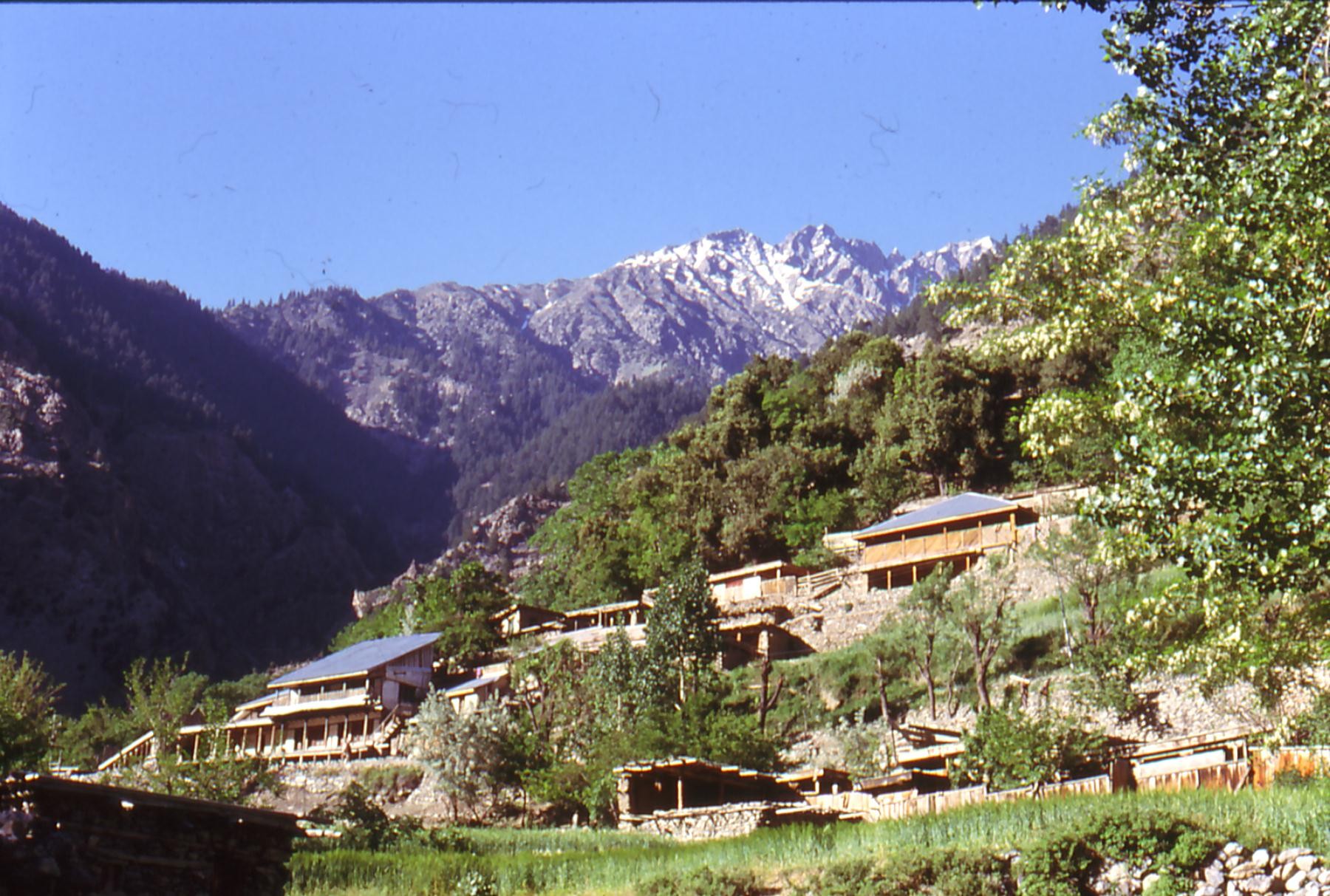
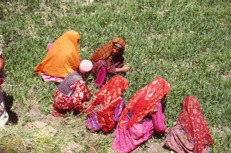
Valley Kalash, among three, is situated in the southwest of the Pakistani district of Chitral, bordering of the Nuristan. These valleys are: Rumbur, Bumburet and Birir. Valley Kalashs is inhabited by three main communities: Chitralis, Kalashs and Katis.
|
|||||||||||||||||||||||
The
Climate |
|||||||||||||||||||||||
The Summer is pleasant but the Winter is extremely cold. Chitral has periods of rains and snows during Spring. The Autumn is pleasant also with average temperatures.
|
|||||||||||||||||||||||
The flora and the fauna |
|||||||||||||||||||||||
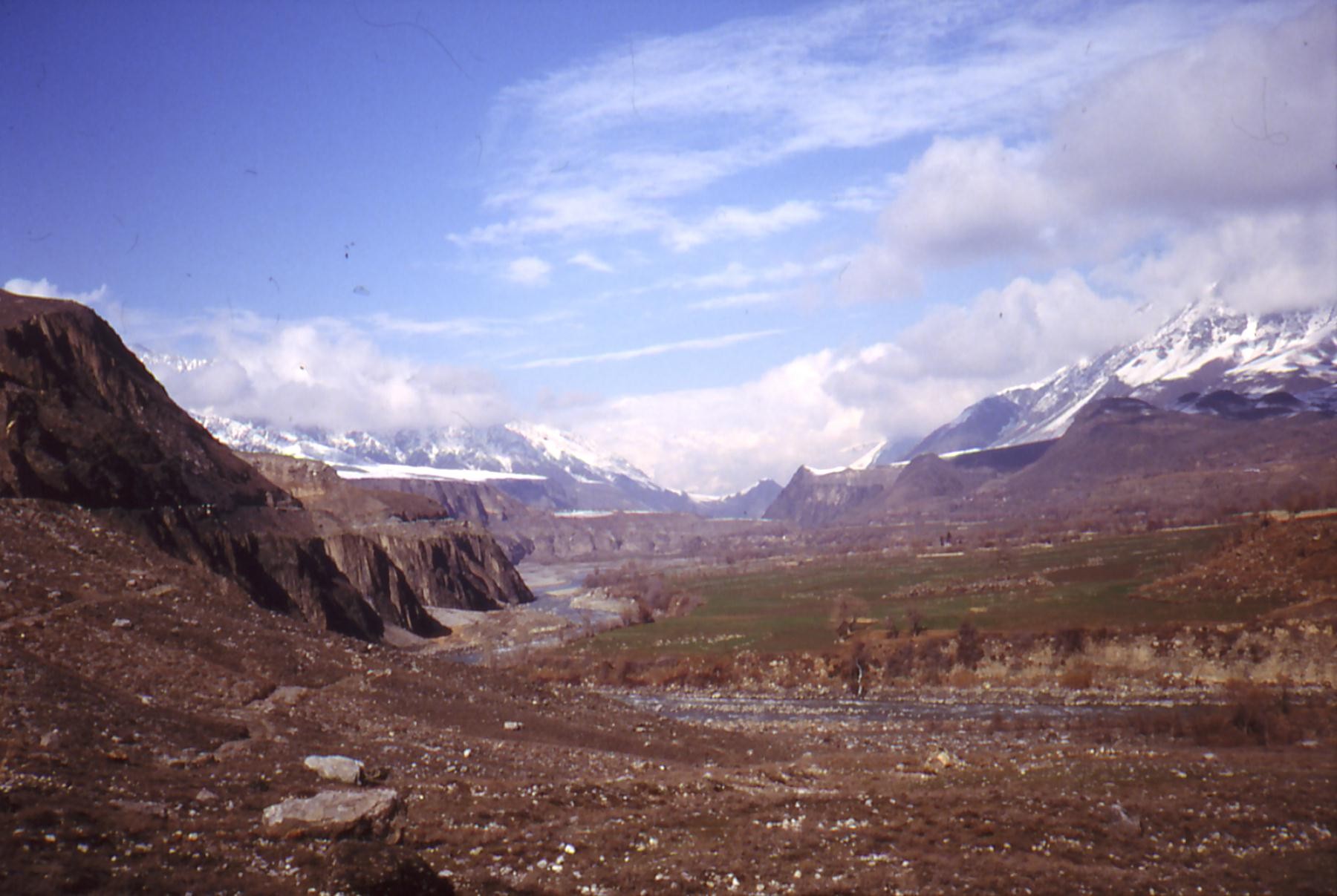
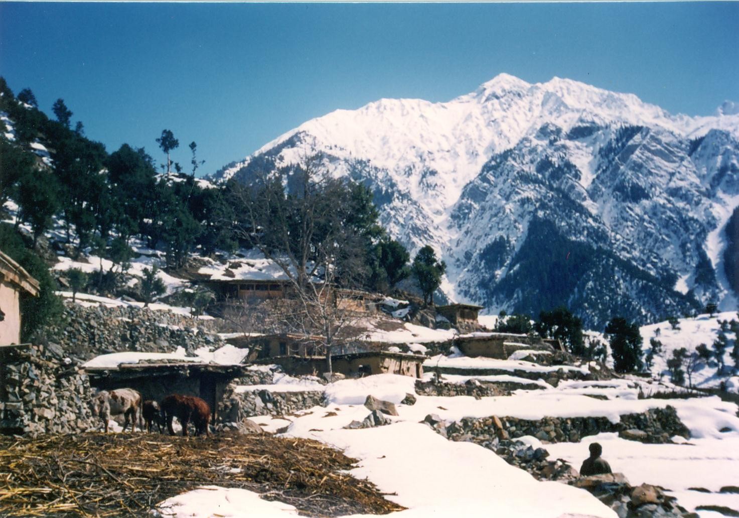
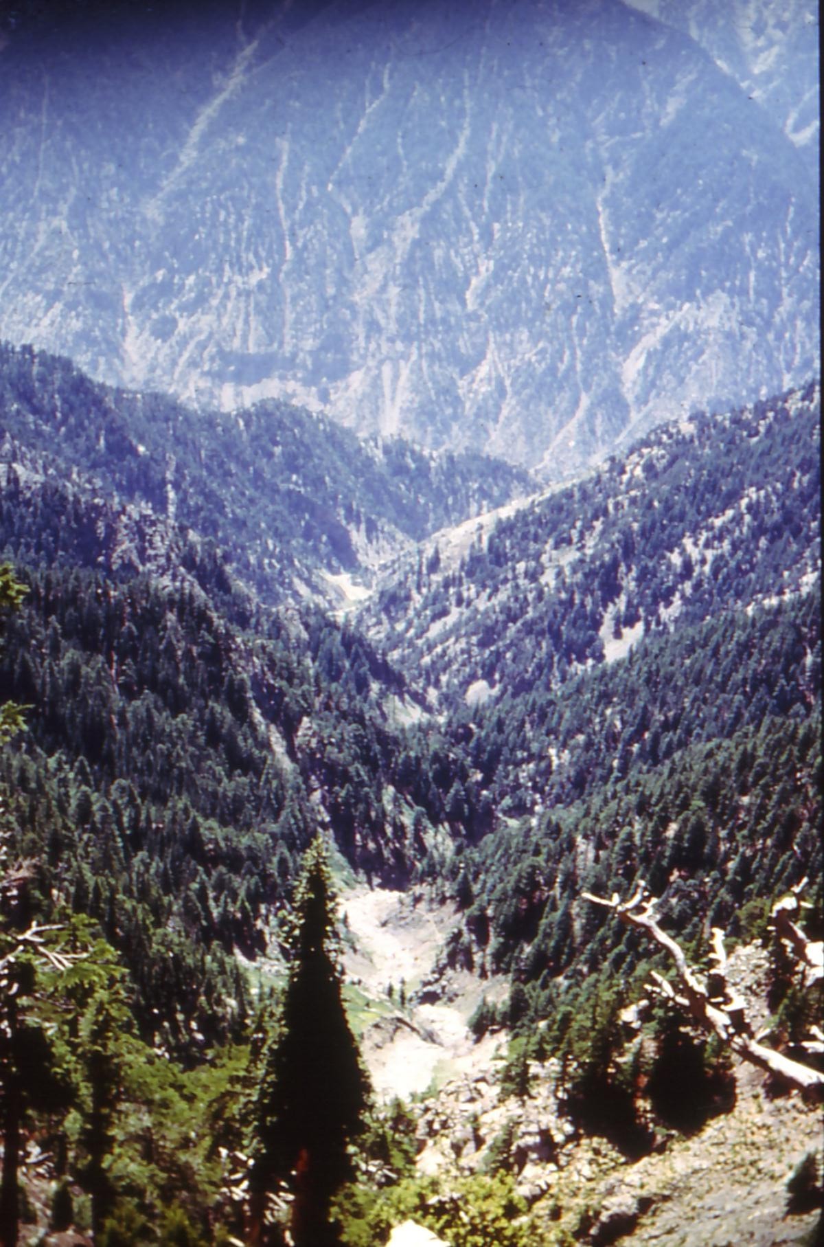
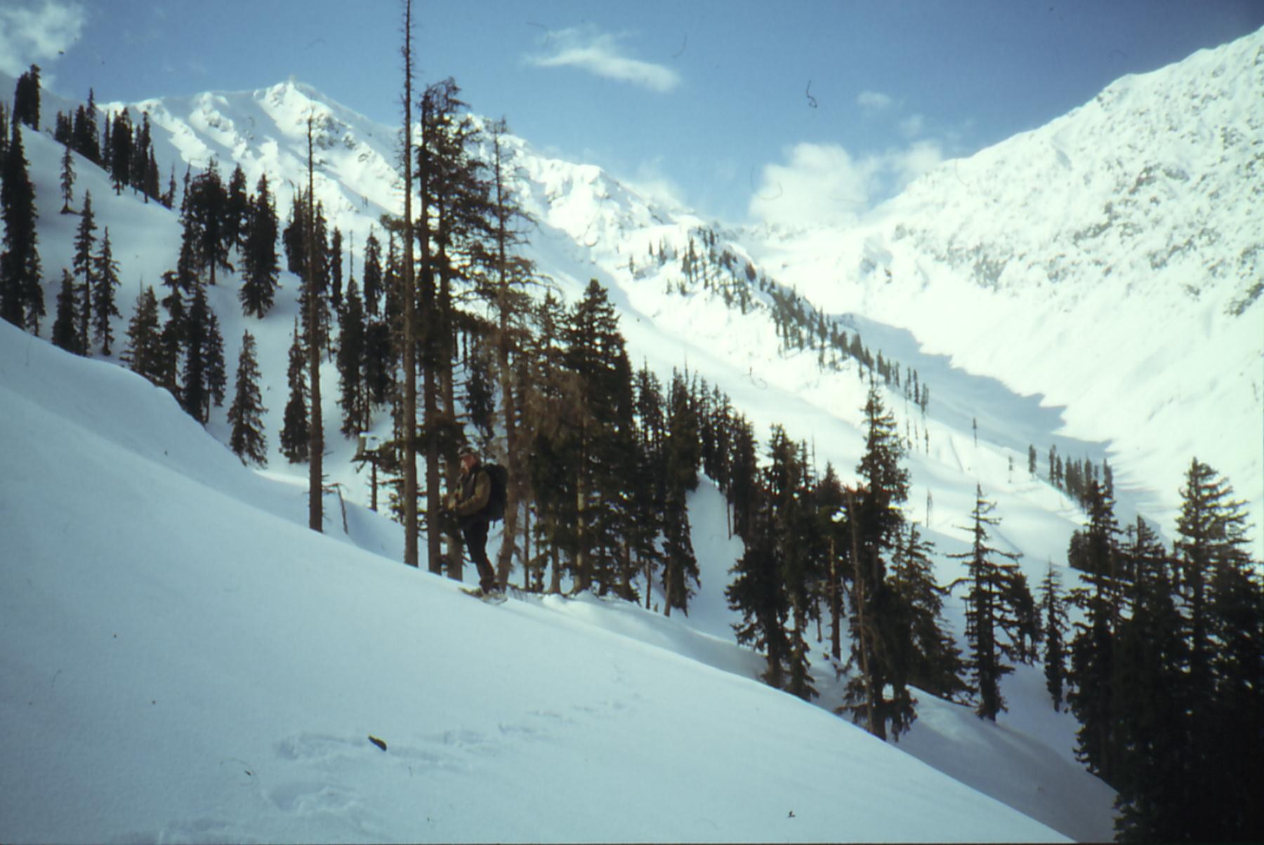
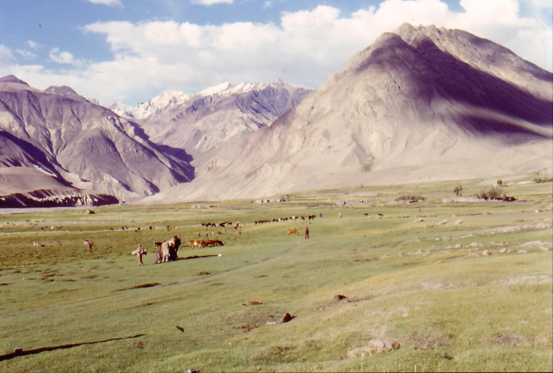
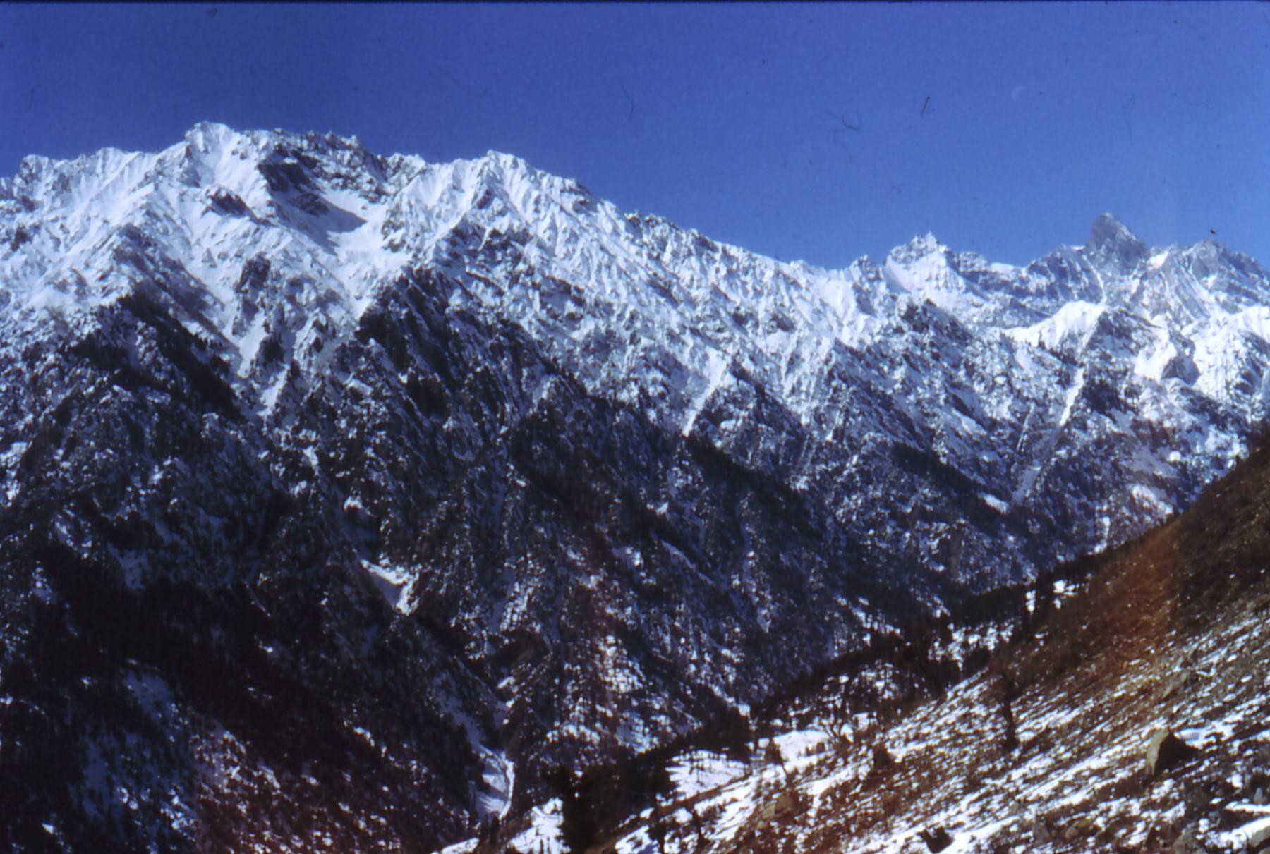
In past these mountains were rich in forests, but the hazards of the history made move back the forest in a dramatic way to the point that only the south-oriental hillsides of the chain still possess the last wooded massifs. These hillsides correspond essentially to the province of the Nuristan in Afghanistan and to the district of Chitral in Pakistan.
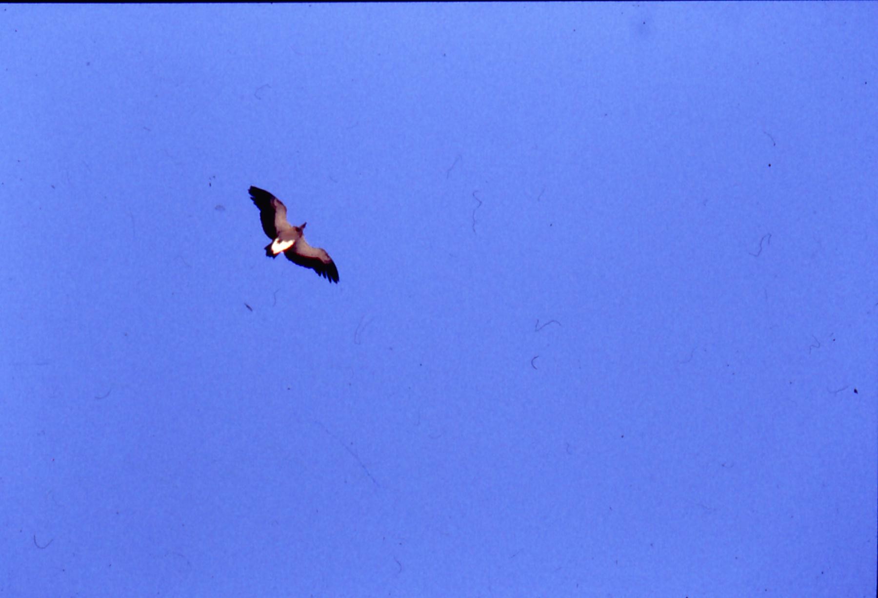
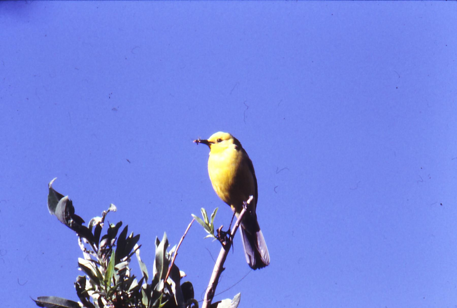
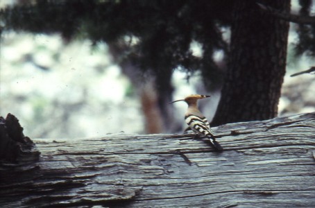
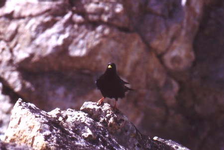
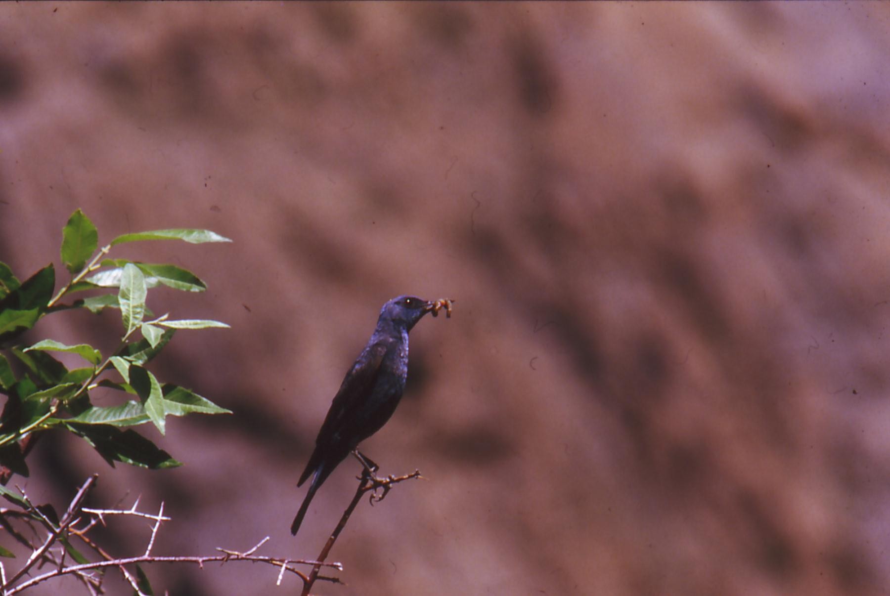
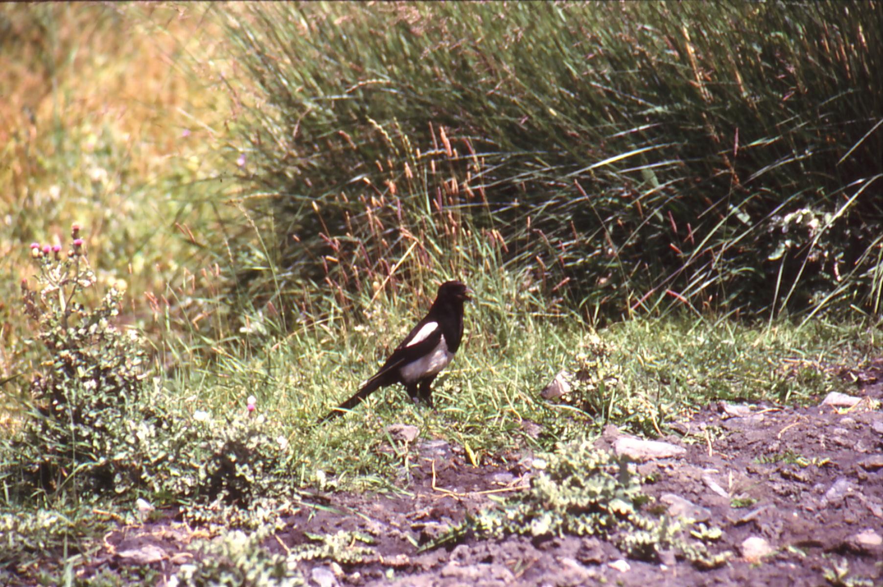
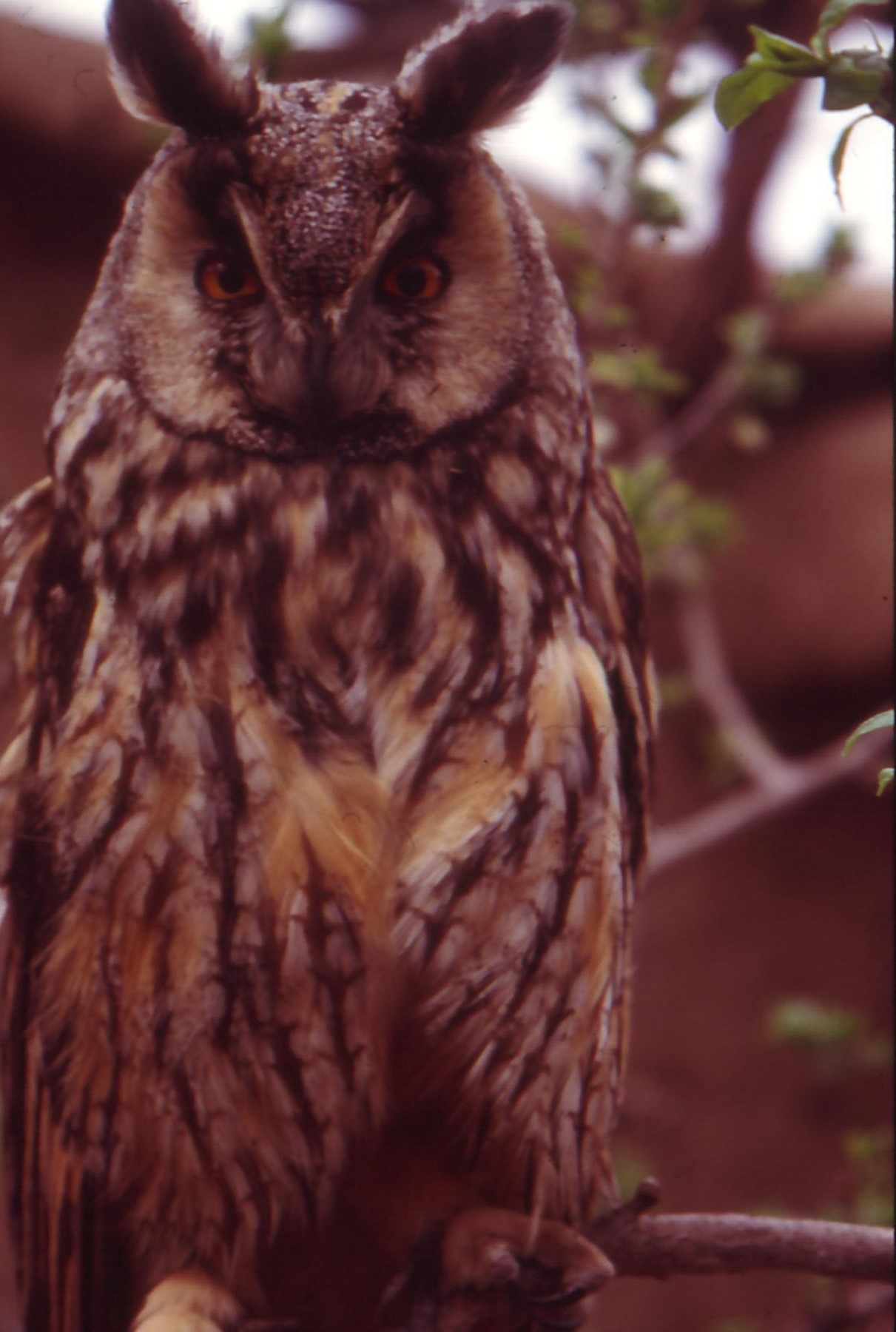
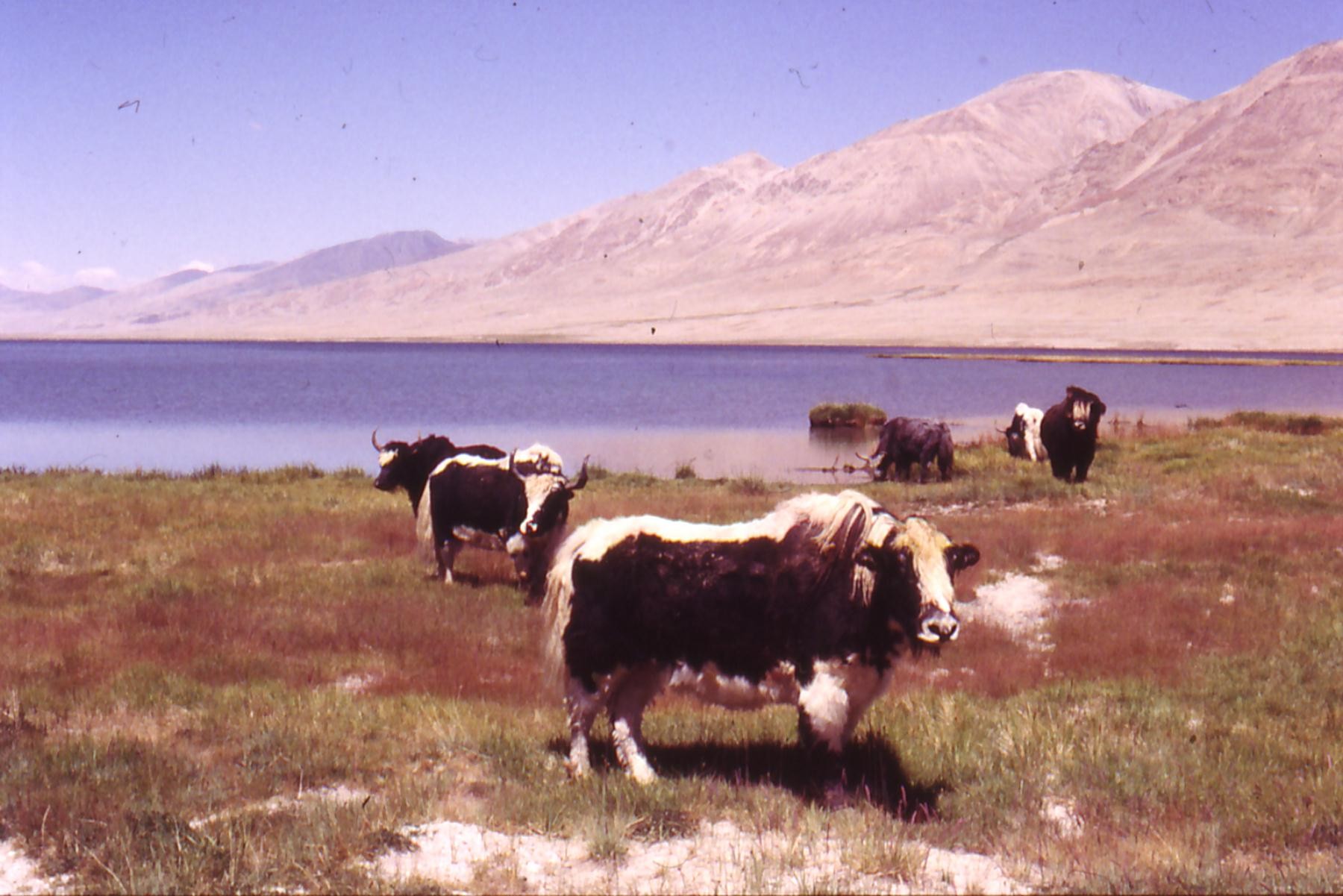
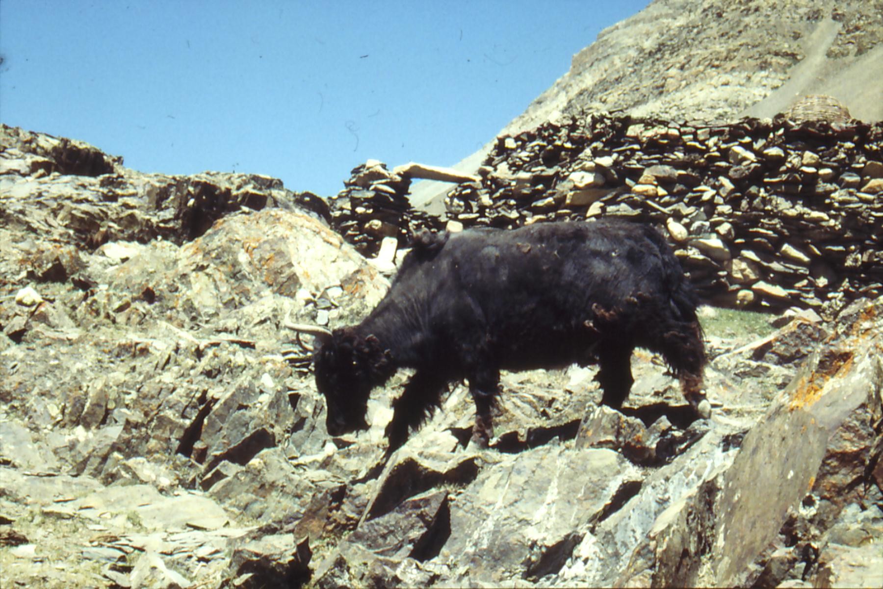
Animals : Birds are represented by numerous sorts, essentially passerine, but also tisphasianidés, Columbidés, Turdités and especially from Himalaya, the bearded Lammergeyer, Tétraogalle from Himalaya, the radiant Lophophore, the Dove of snows, the golden Eagle...
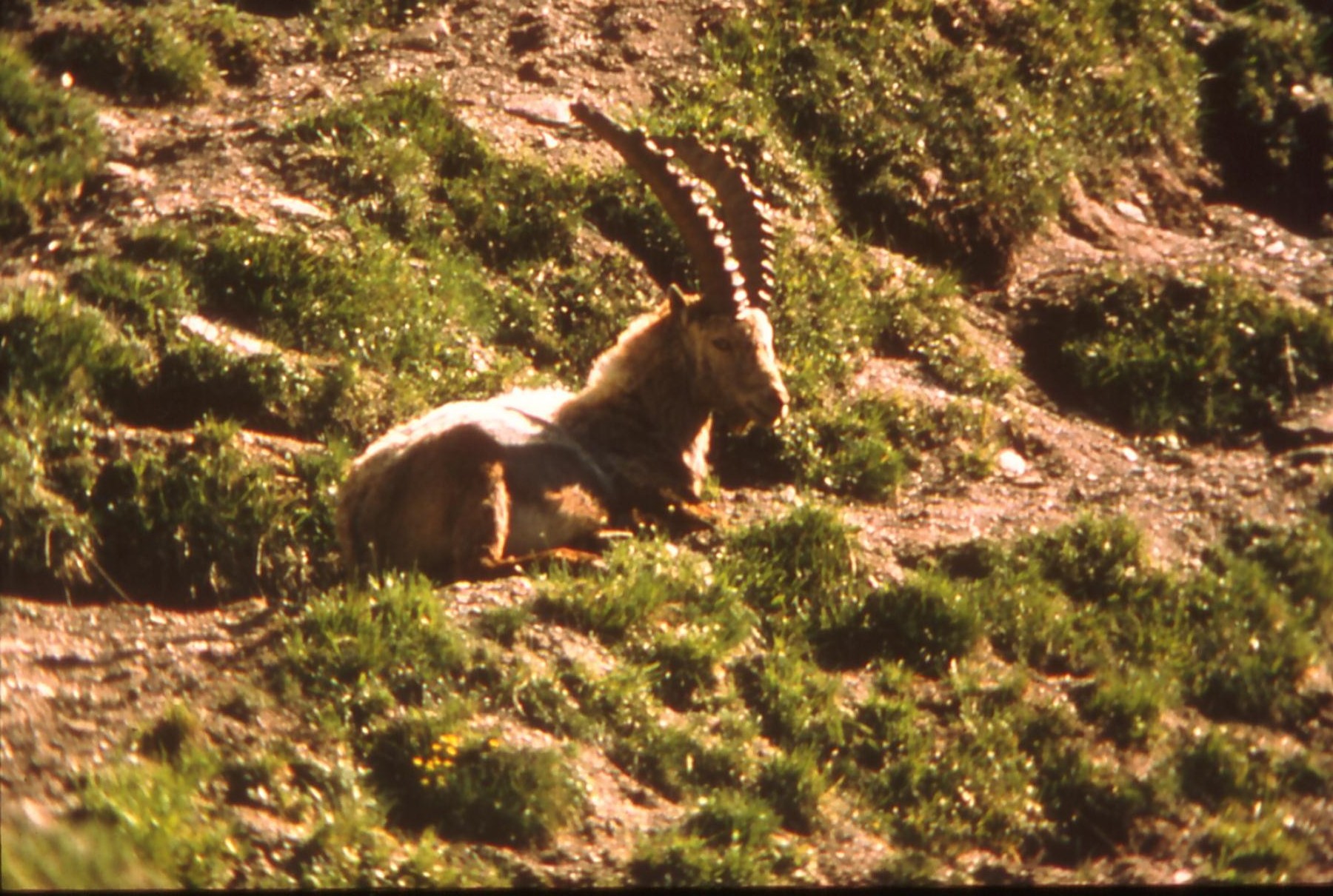
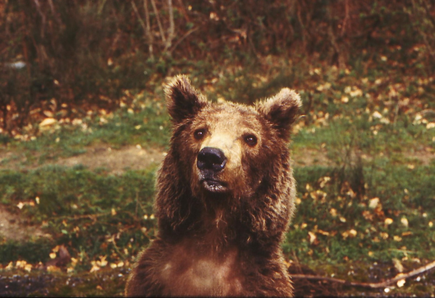
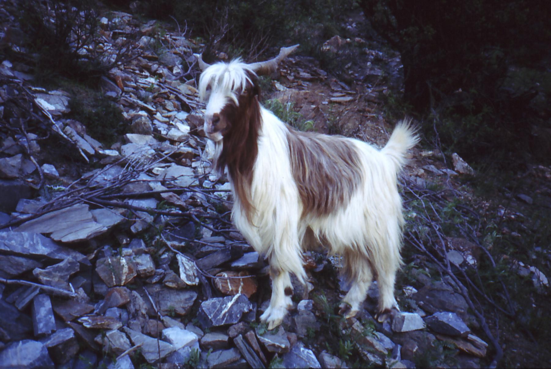
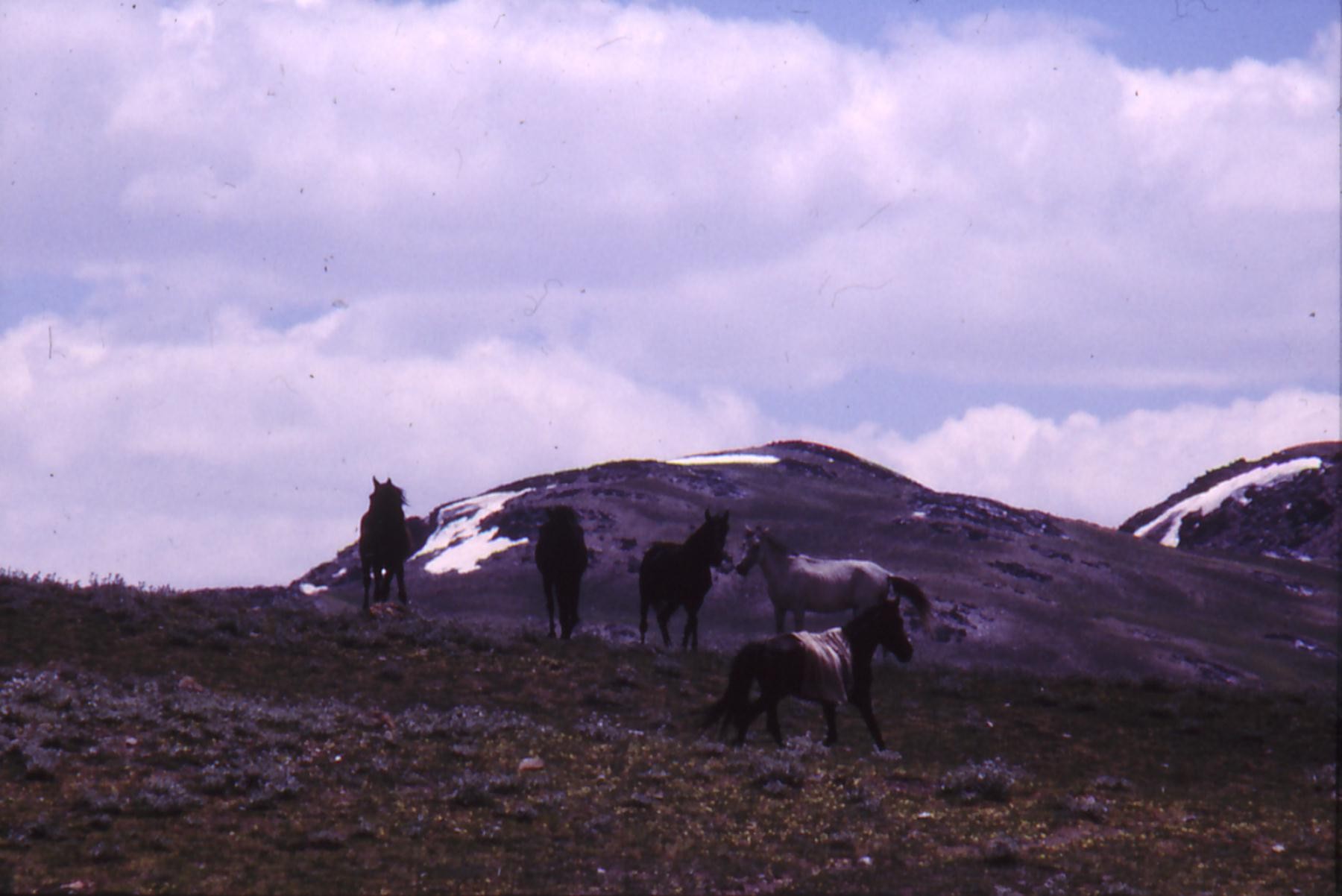
There are animals little known and rare there as Markhor, the Leopard of snows, pallas's Cat, the Bear stalk of Persia, the Deer carries Musk...
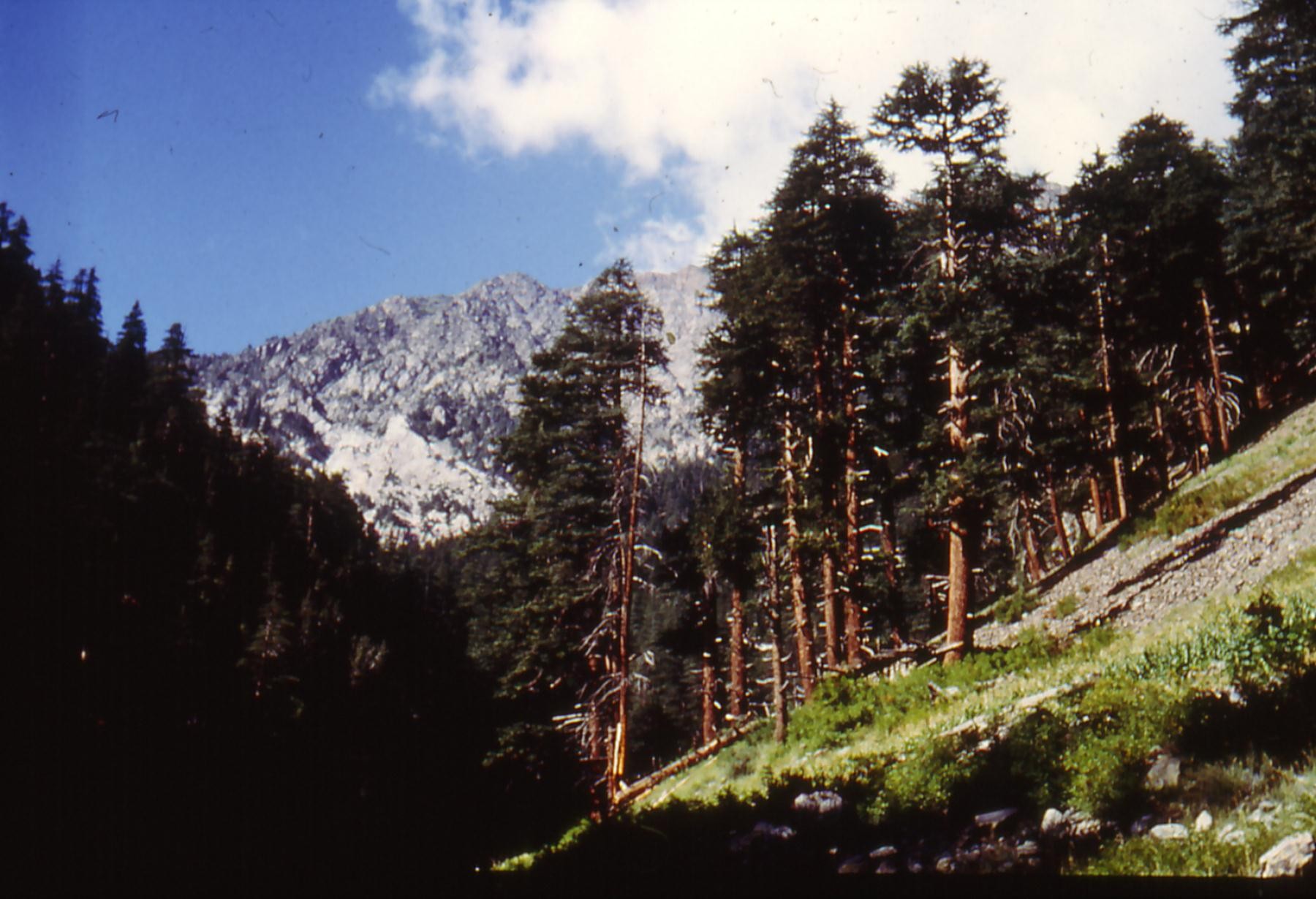
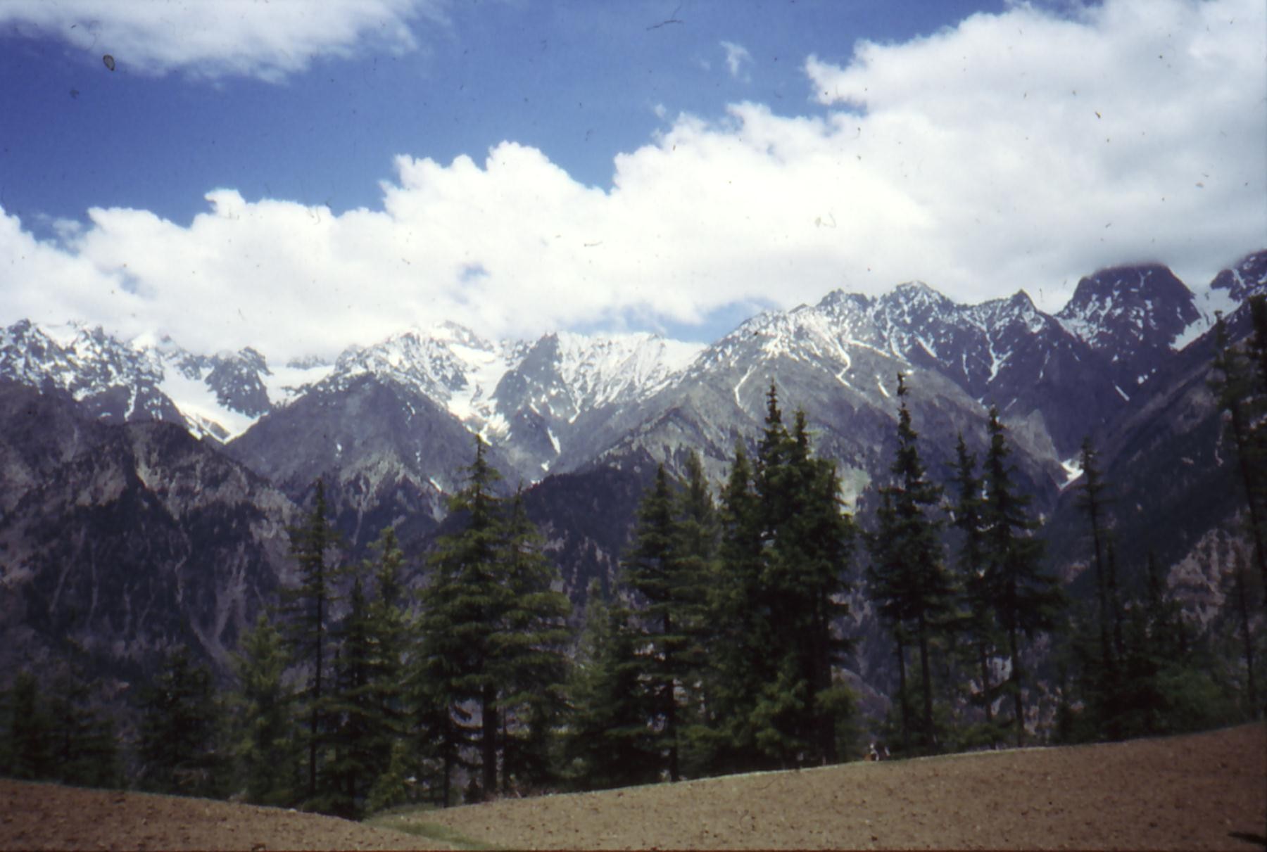
The vegetation : - The alpine zone from 3400/3500 meters in height; consisted of 3 floors: the nival, the alpine and the subalpin with wood of birches, willows or junipers. There is 4 % of the alpine attendance in Pakistan.
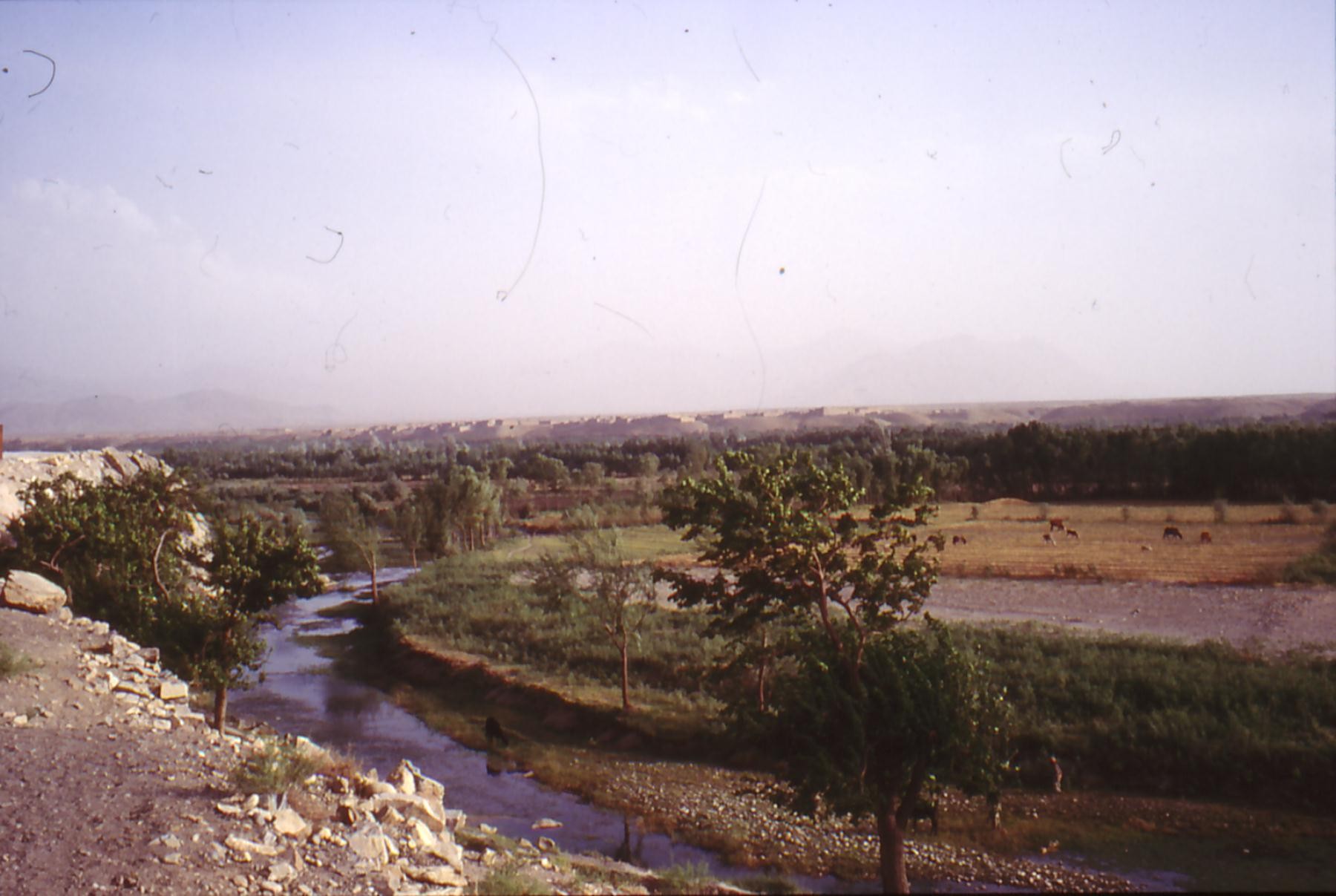
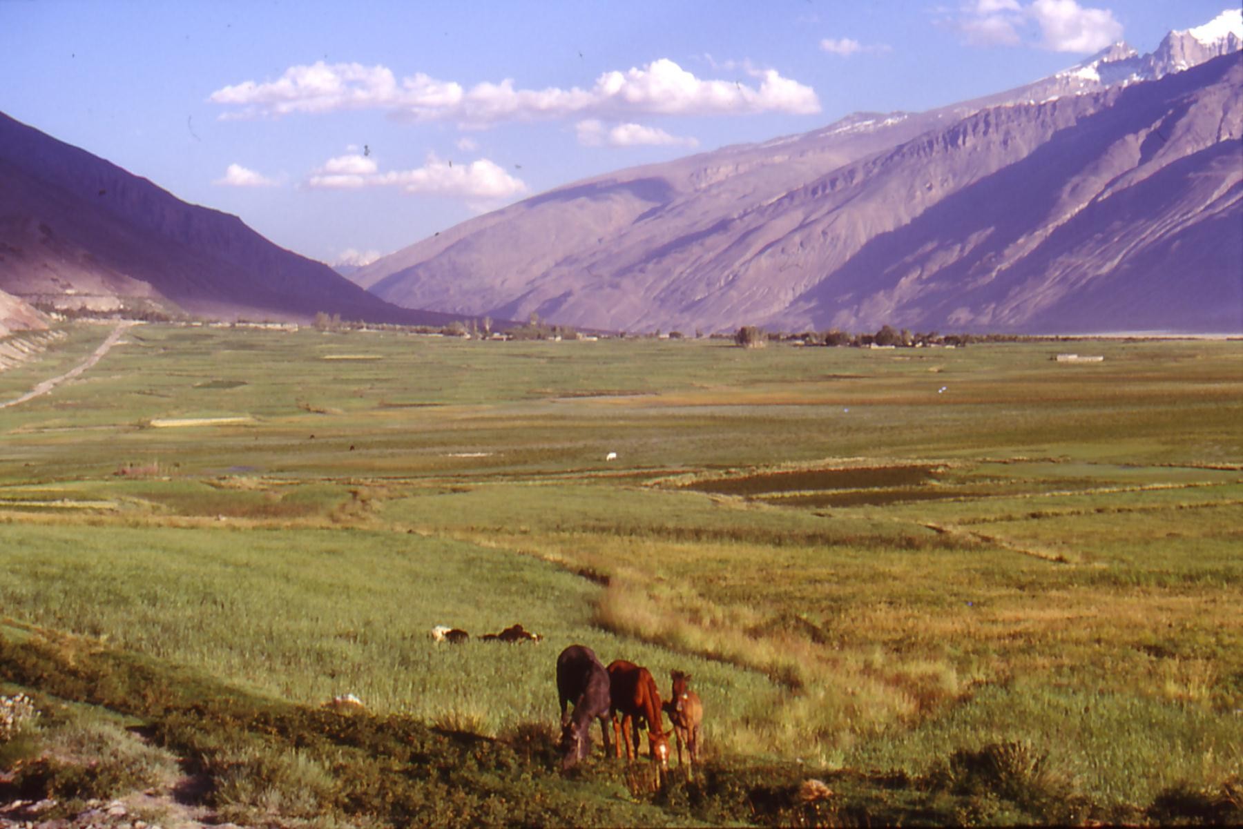
- The zone of the edges of waters, present in talwegs, is represented by groupings of willows, tamarisk, poplars and birches.
- The zone afforested between 1000 and 3500 meters, in the South of the region. This zone consists of 3 floors; the series of the fir tree, the series of the cedar and the series of the oak-green. The forests of oak-green serve as "winter pasture" for goats.
-The zone steppique, dominant in the North, where it is natural up to 3000 meters in height. It presents the characteristics of the steppes of Central Asia. In the South, it is the consequence of the deforestations led by the man.
The natural environment is stuffed with antipersonnel land mines. In high mountain pastures, the shepherds are distorted by these mines. Jordi tried to know if wild men had been killed in this way, but premises do not go to see closely when they hear to jump an mine. Mines were sent by helicopter then scattered by the movements of ground, we do not know any more where they are. (The Same thing in the Spanish Sahara, where they are taken in the movement of dunes)
|
|||||||||||||||||||||||
Population
and various ethnic groups |
|||||||||||||||||||||||
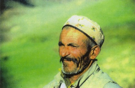
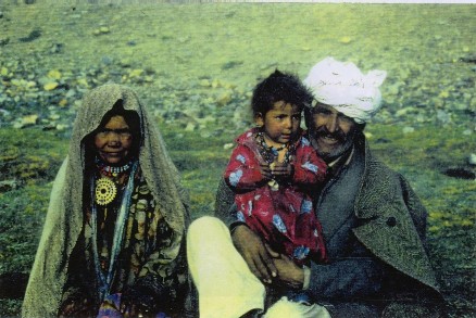
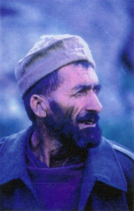
The establishment of the man in these mountains is old, but the hostility of the environment and its appropriate geographical characteristics, always maintained very low human densities up to the first half of this century. None " big civilization " was able to develop there. On the contrary, the same natural characteristics allowed, until our original days, the survival of a social organization and a mode of life.
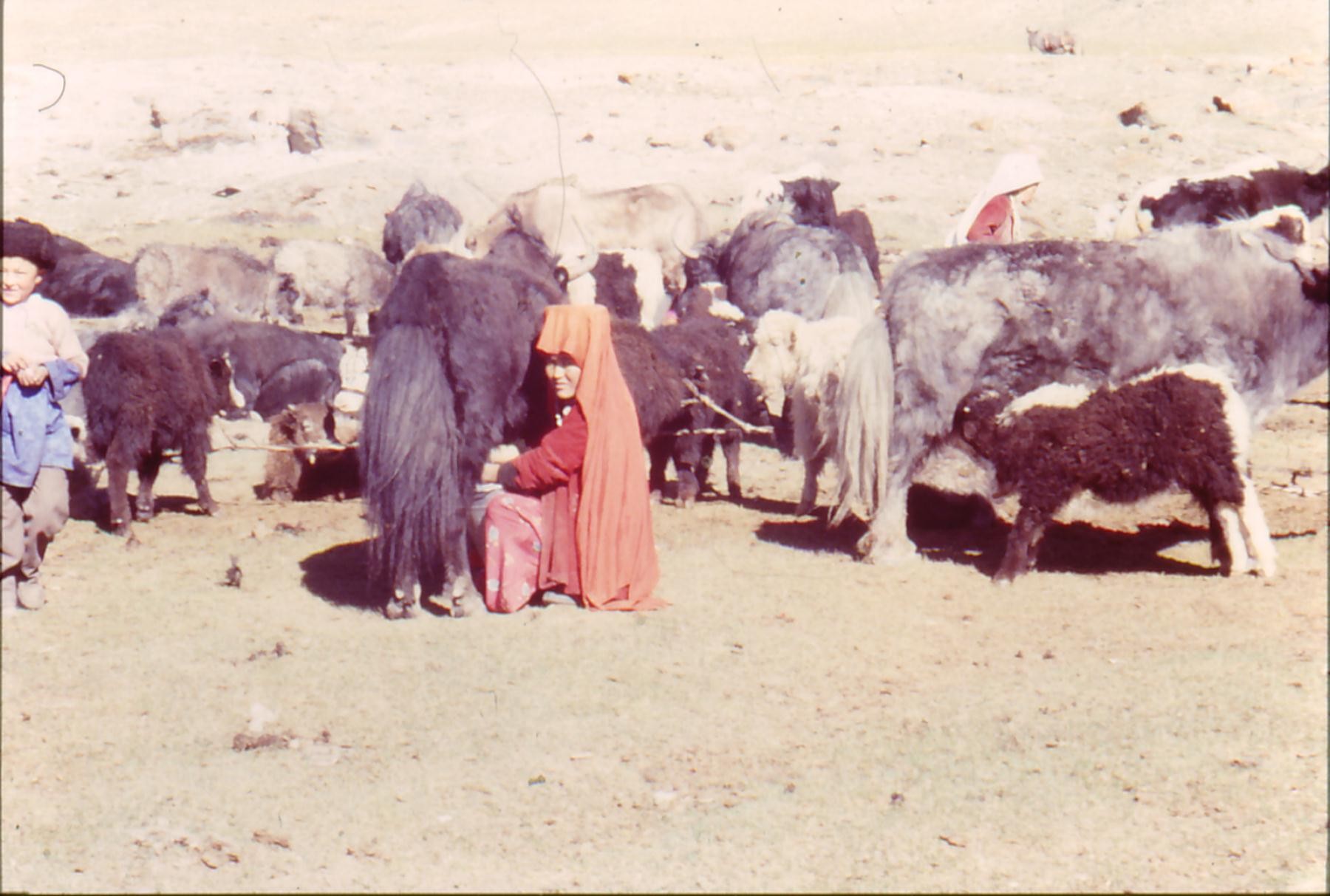
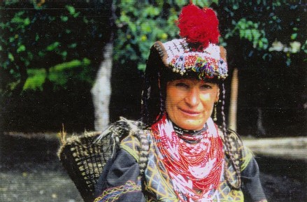
- Little known Human Tribes, as the Nomads Gujous who constitute the only really mountain people with women and children, leading a lifestyle close to a Neolithic tradition. - Present Katis in these valleys is native of the Nuristan and established to Chitral since the end of the XIXth century. They were at the time of the refugees avoiding the massacres organized by the Afghan on their territory, former Kafiristan. - Kalashs which represent the last Eurasian people polytheiste.
- Chitralis which live at the time of the Middle Ages.
- Pathans warriors.
Chitralis, Kalashs and Katis are Indo-European ethnic groups, Chitralis and Kalashs speaks called indo-Aryan languages Hurl, linguistic group appropriate to Hindu Kush and in Kashmir.
SEE MORE PICTURES : Cliquez ici |
|||||||||||||||||||||||
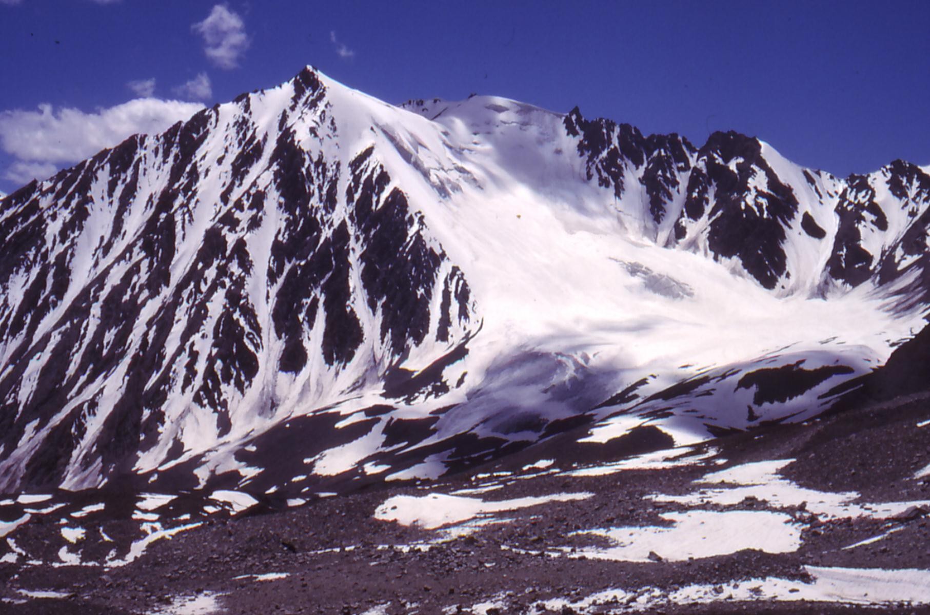
Various summits |
|||||||||||||||||||||||
Hindu Kush is established by mountains and almost uninhabited, wild, difficult to access, underestimated disproportionate trays where the nature is a queen.
- 43 summits in more than 7000 meters - 72 summits in more than 6000 meters Among which 65 are virgin. In this massif, summits are called "ZOM" and collars "YEAR". Blank on the map (North Kashmir website)
|
According to the extracts of the accounts depiction and pictures of the Troglodyte and GESCH General assemblies of the Association.
Isabel.R.M./Claire.G./Jordi.M./Marie-Anne.M./Andrès.M./Espérance.M.